Description
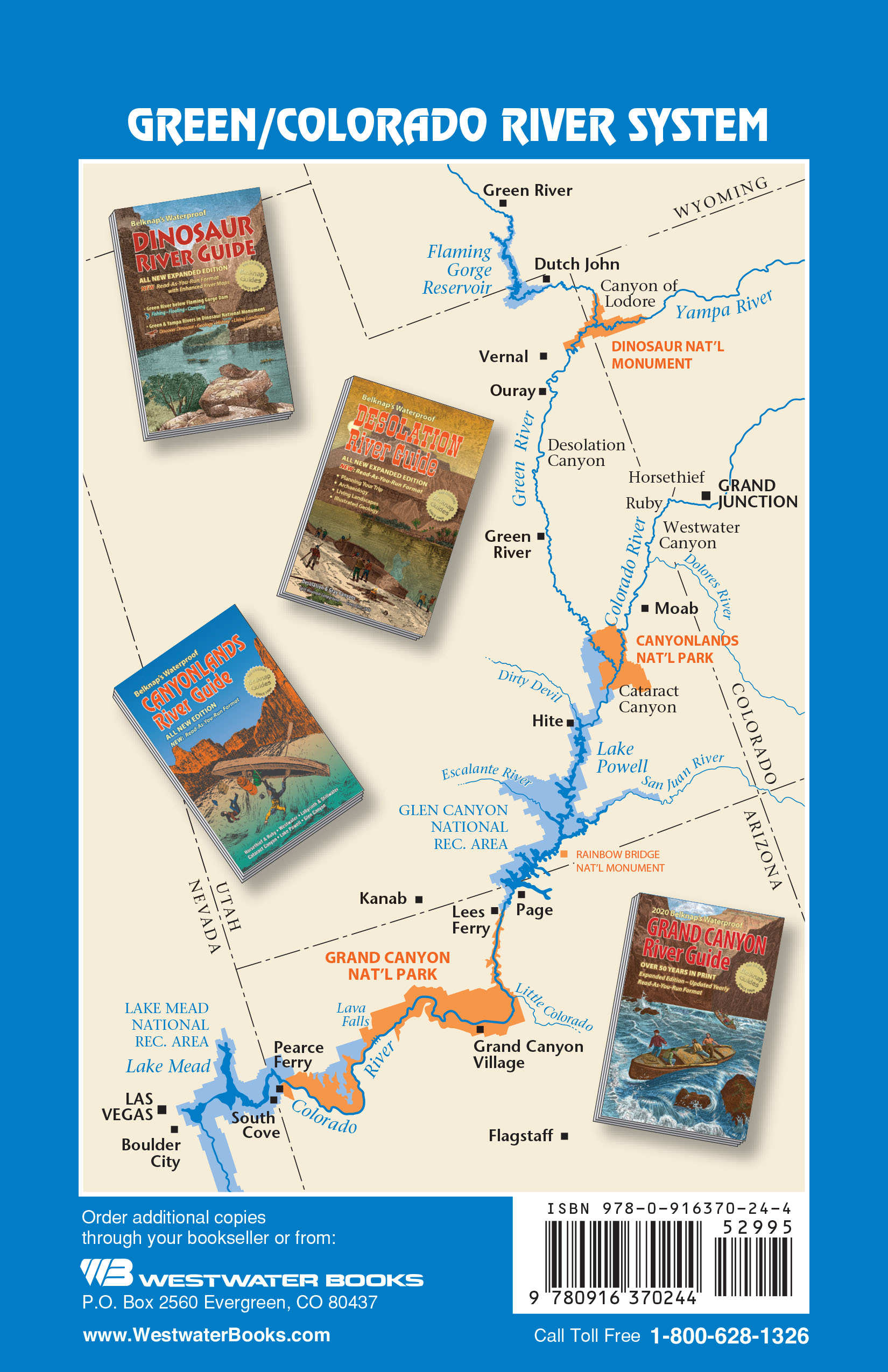
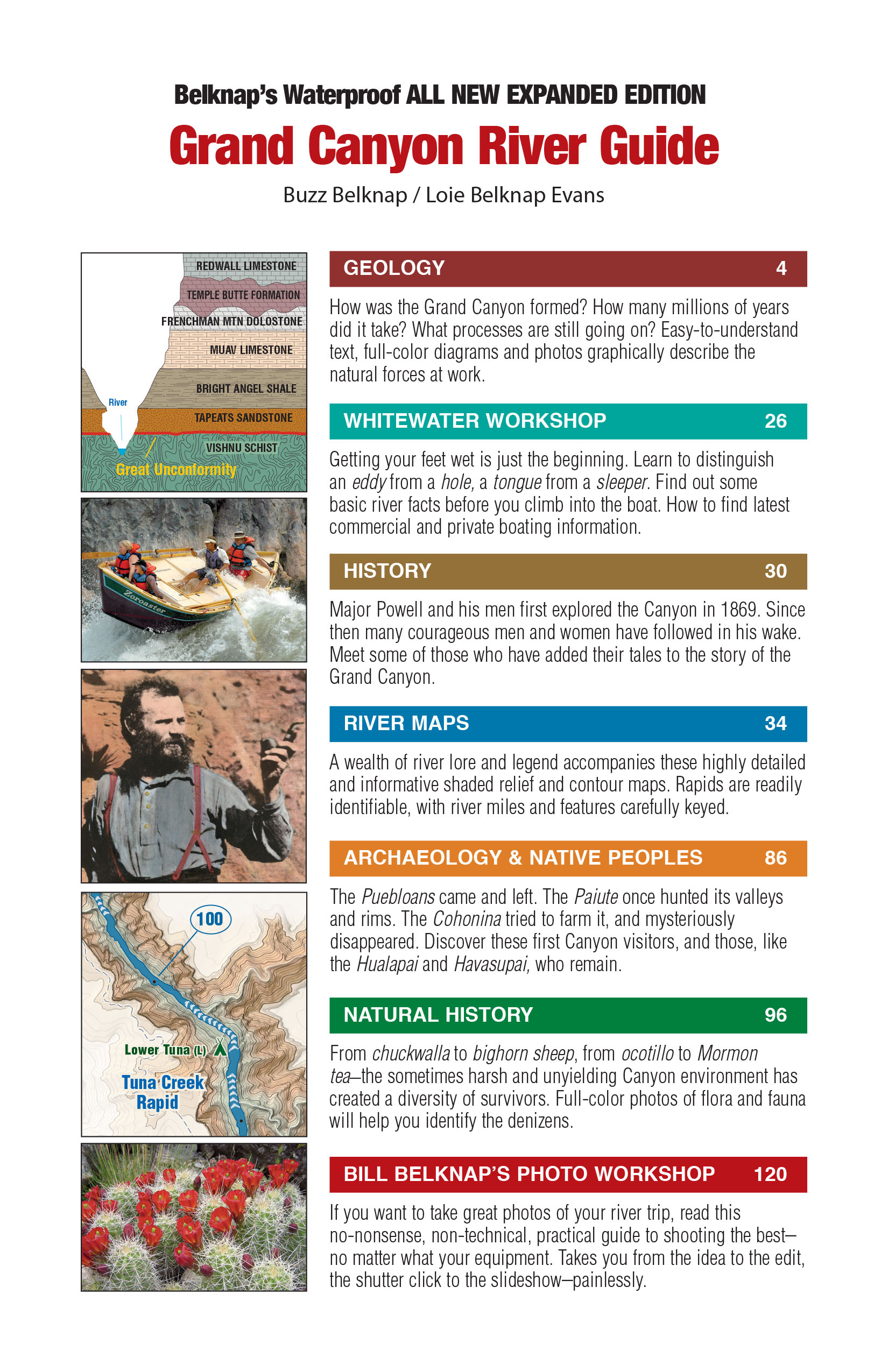
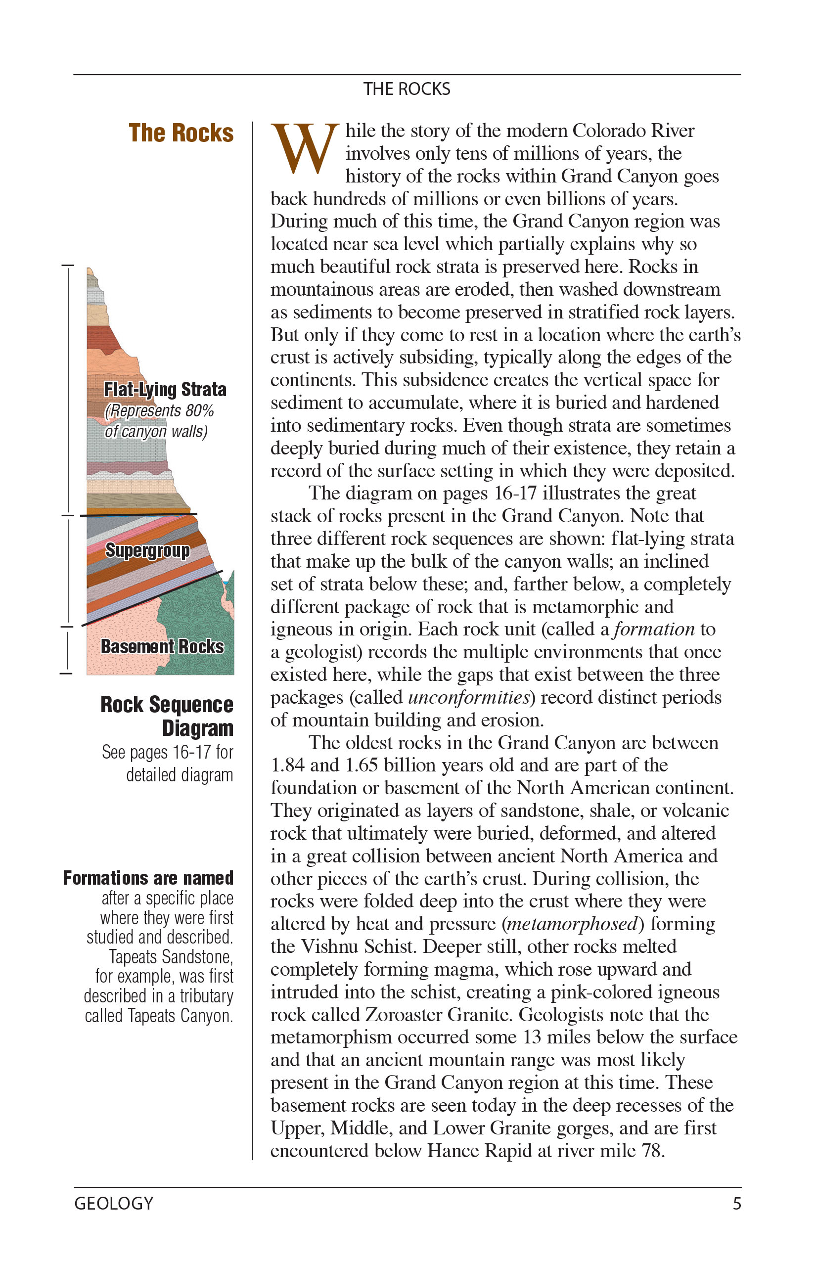
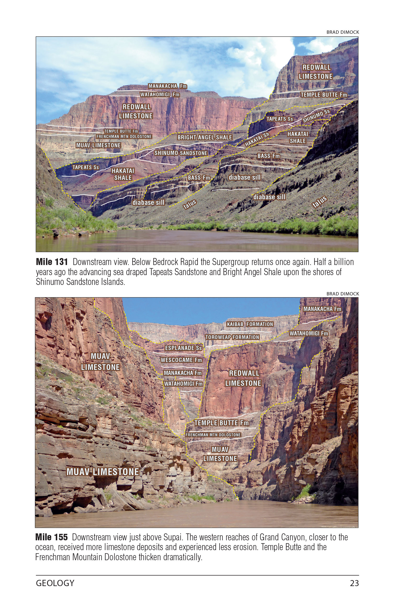
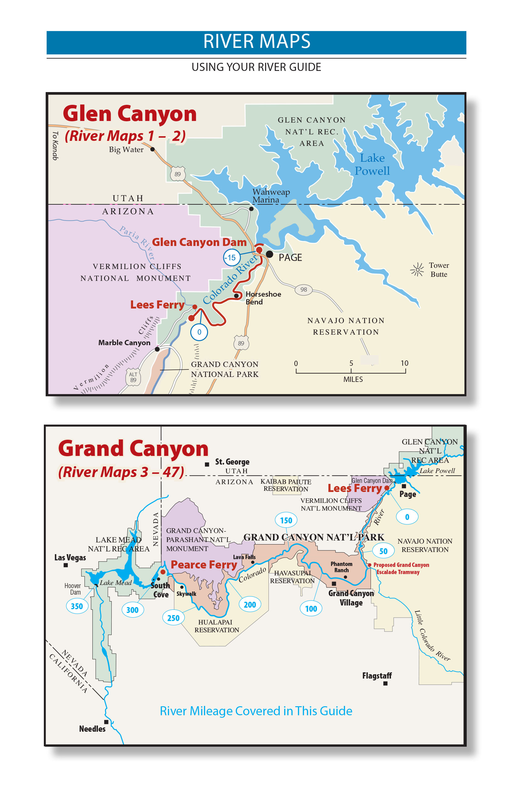
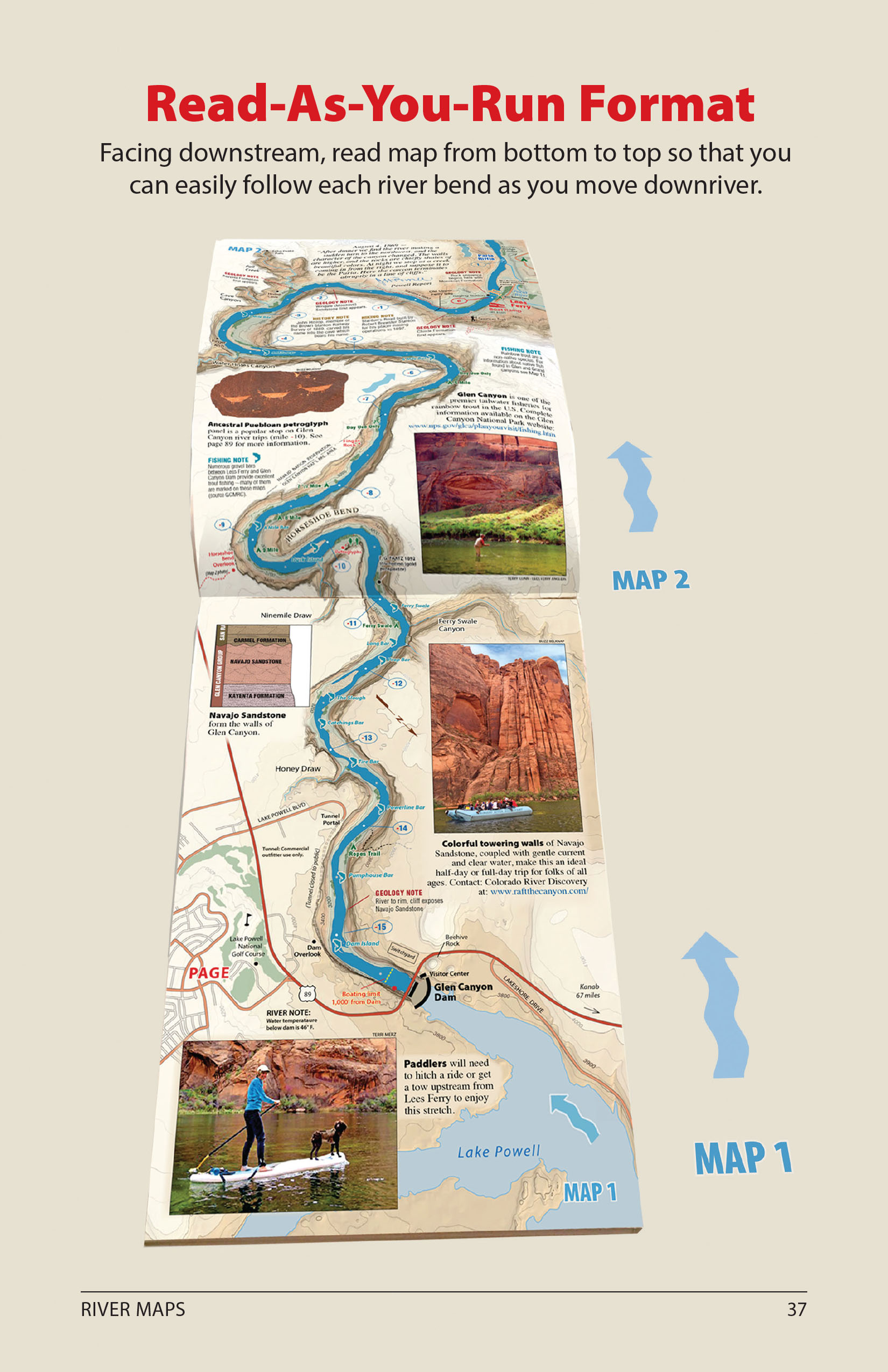
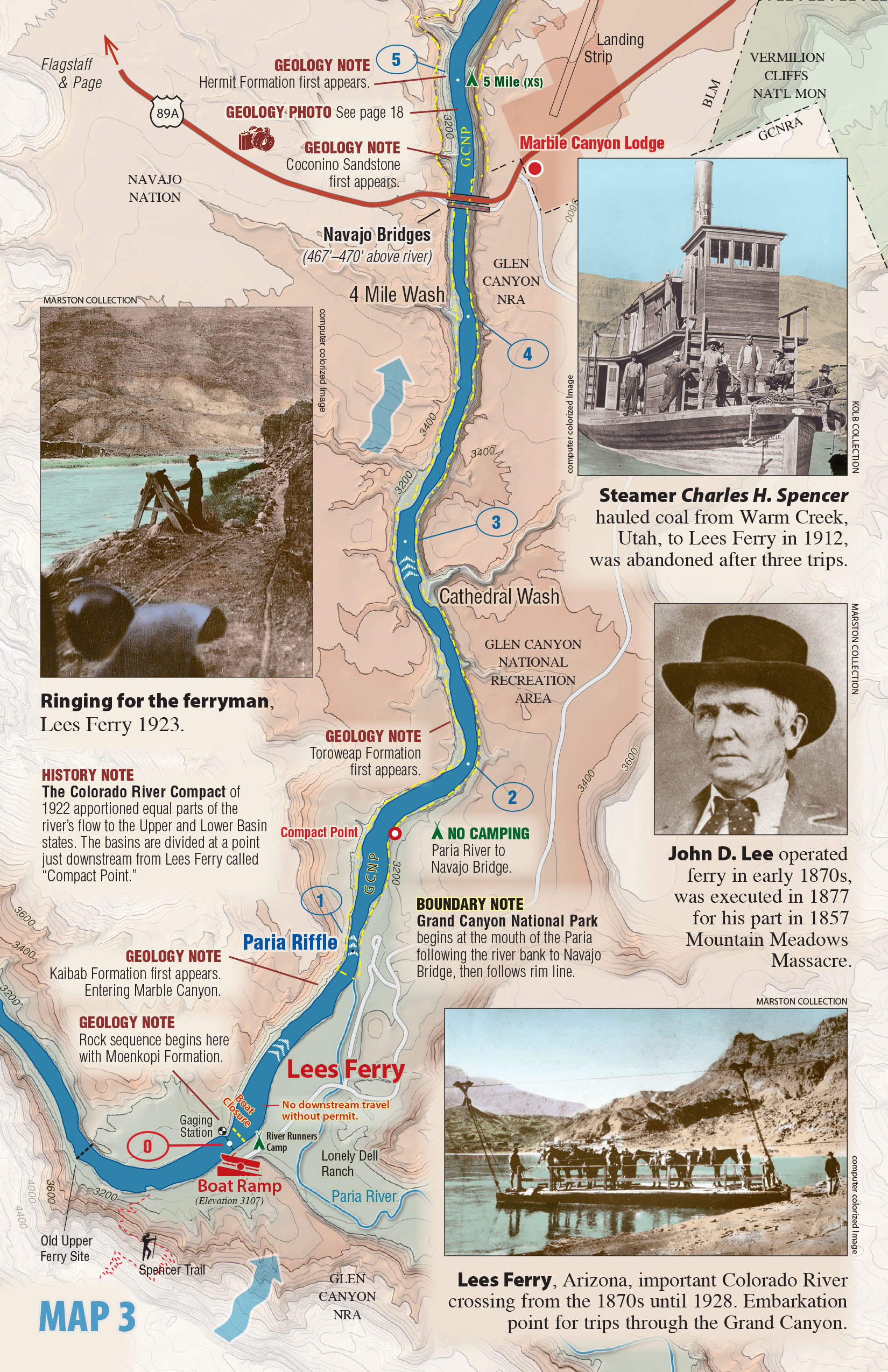
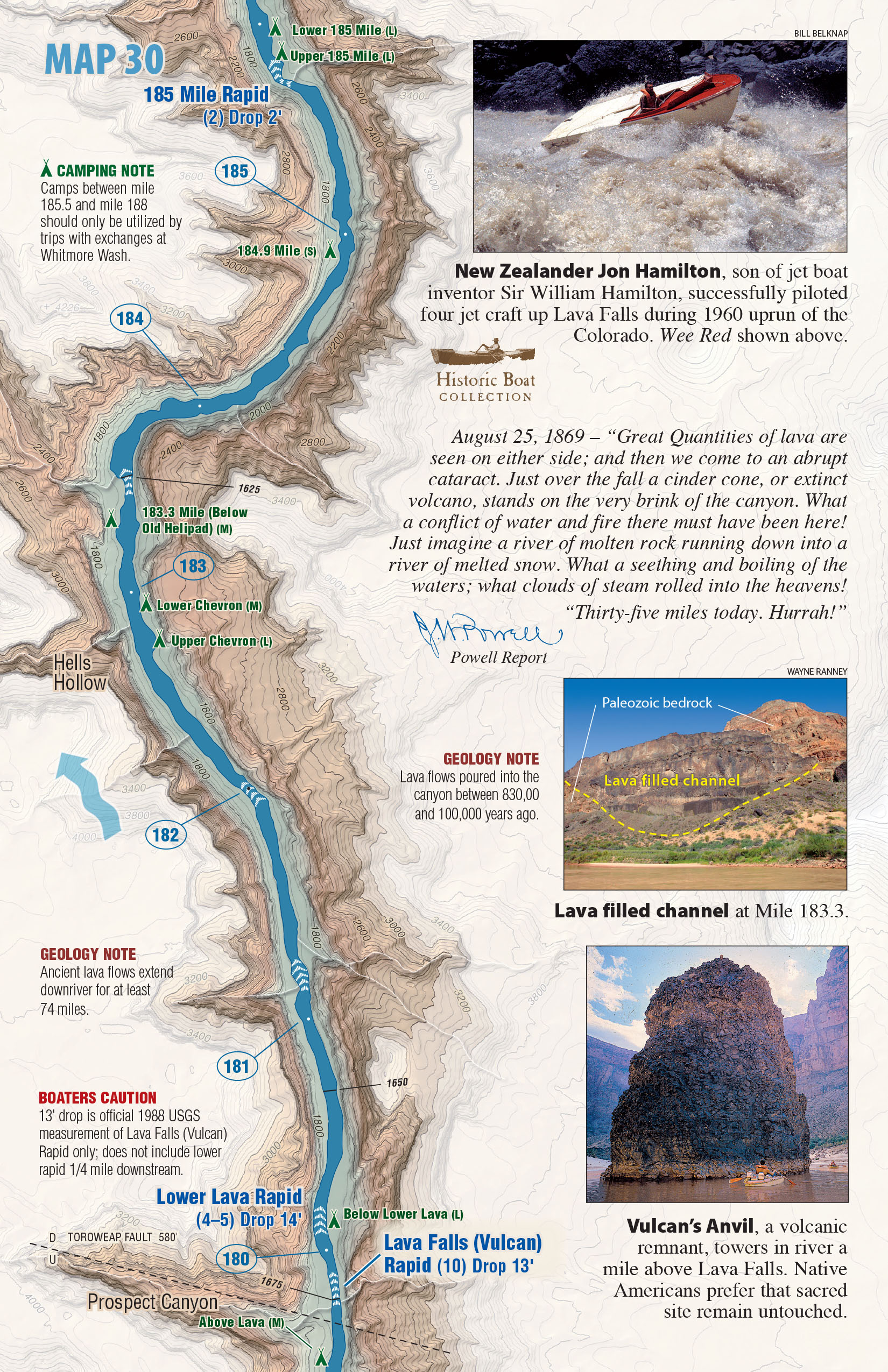
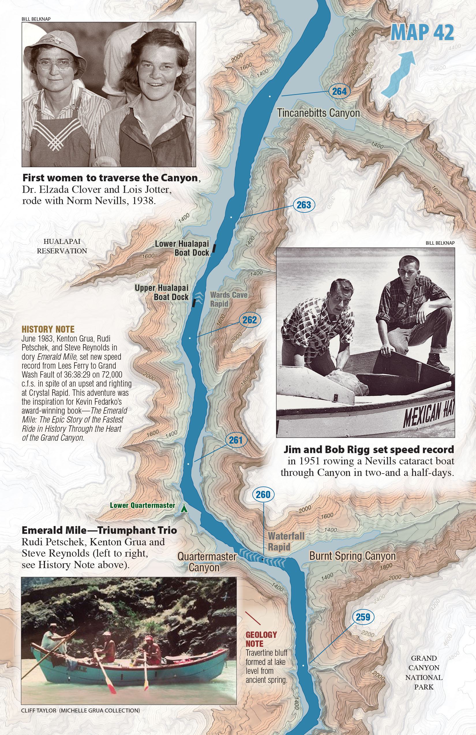
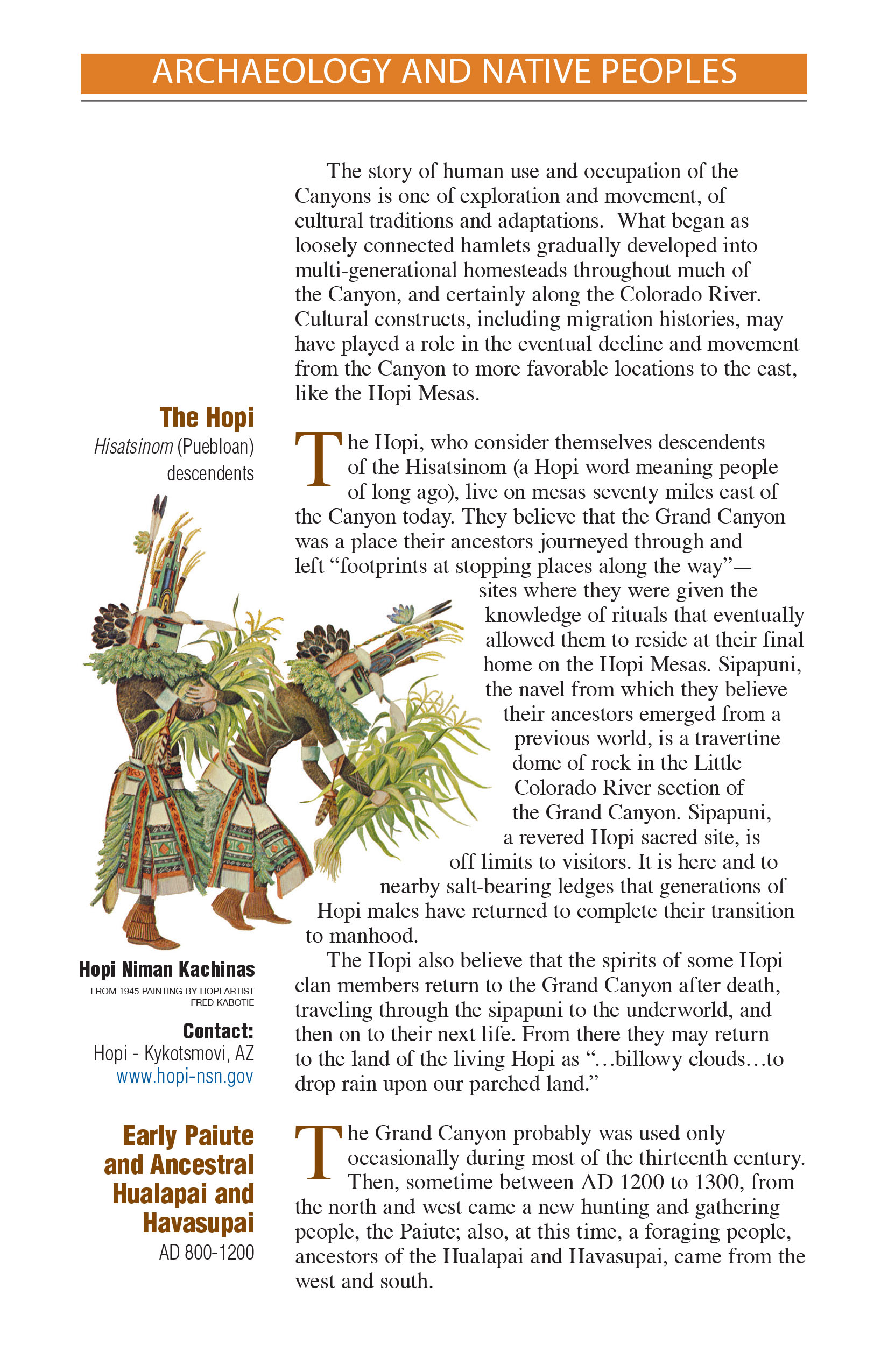
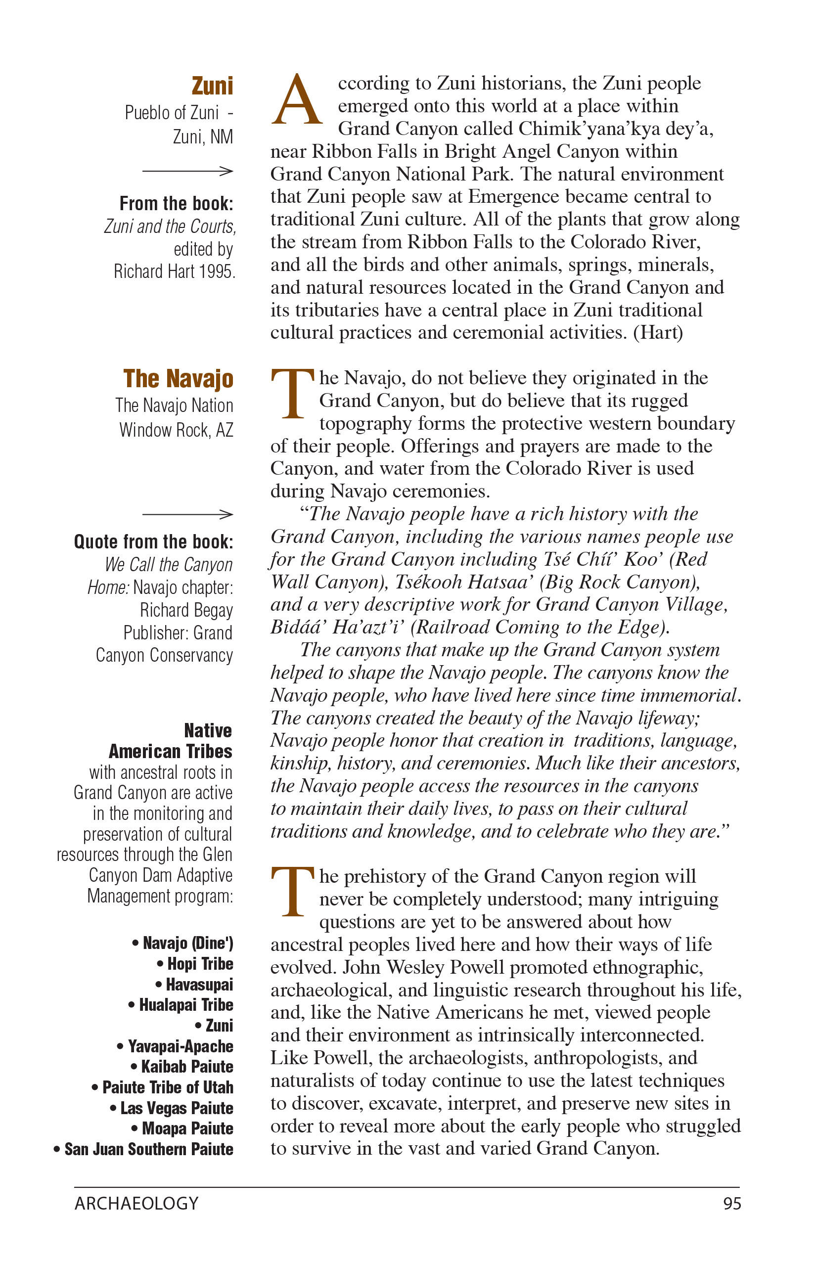
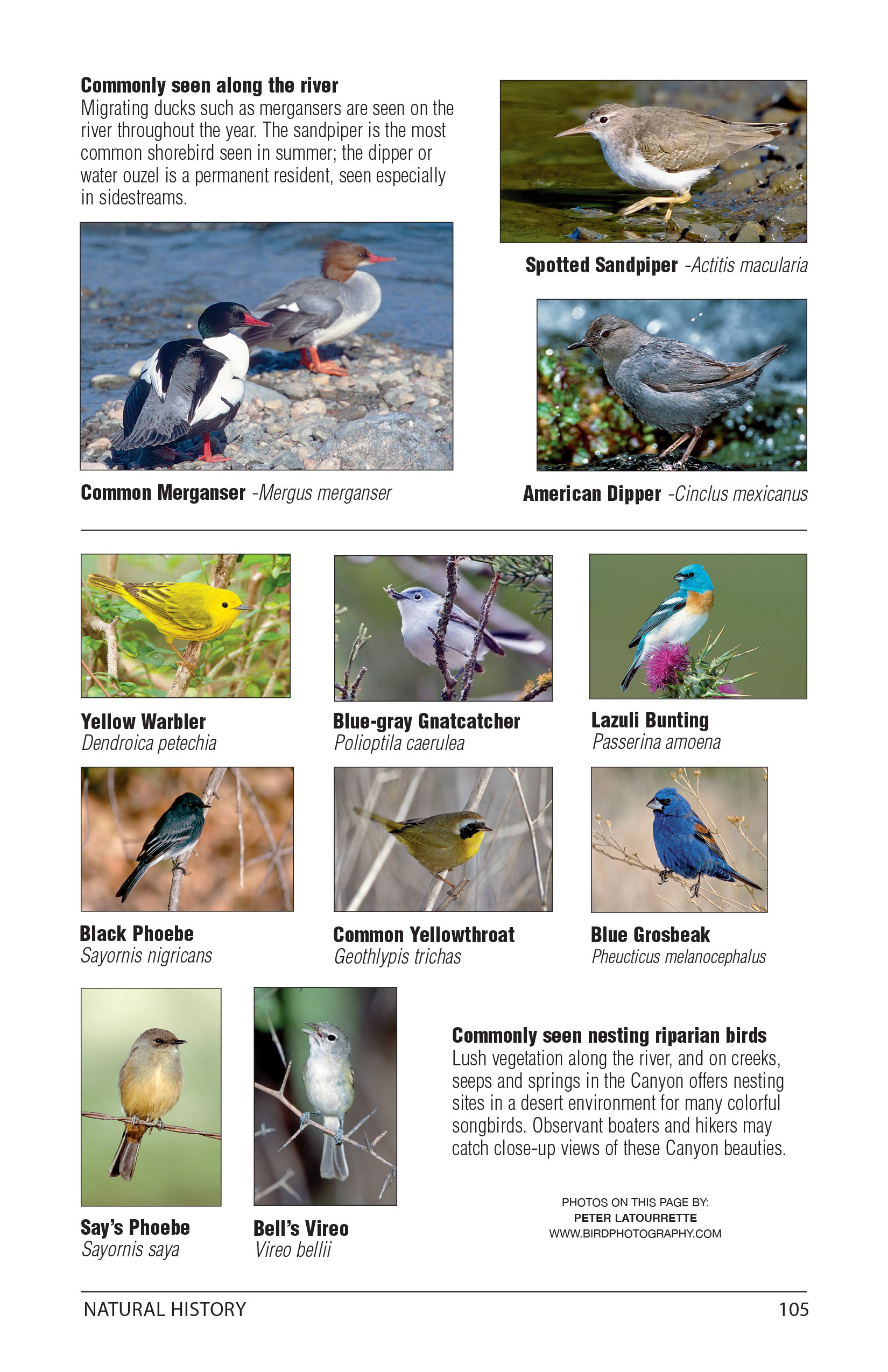
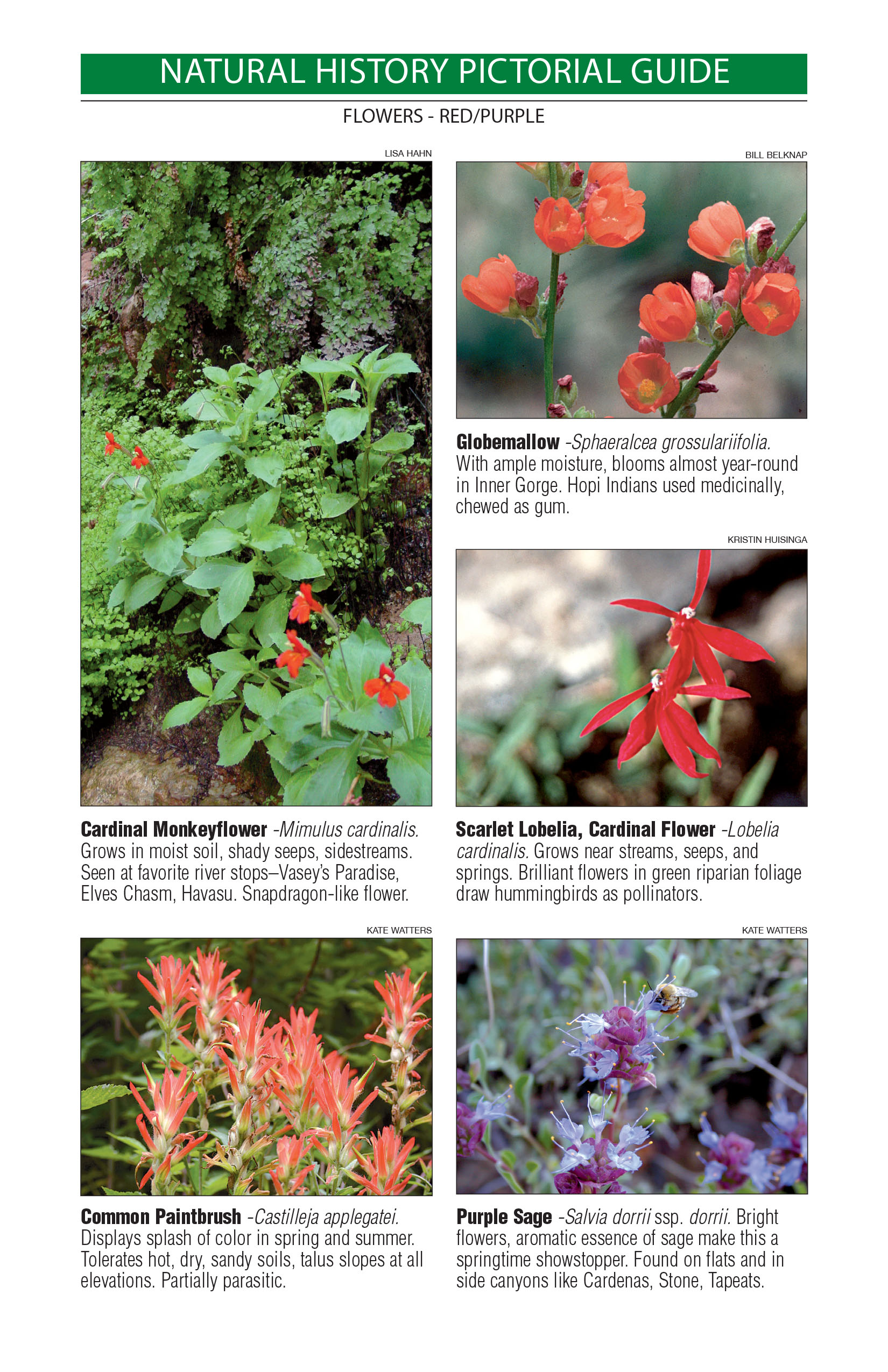
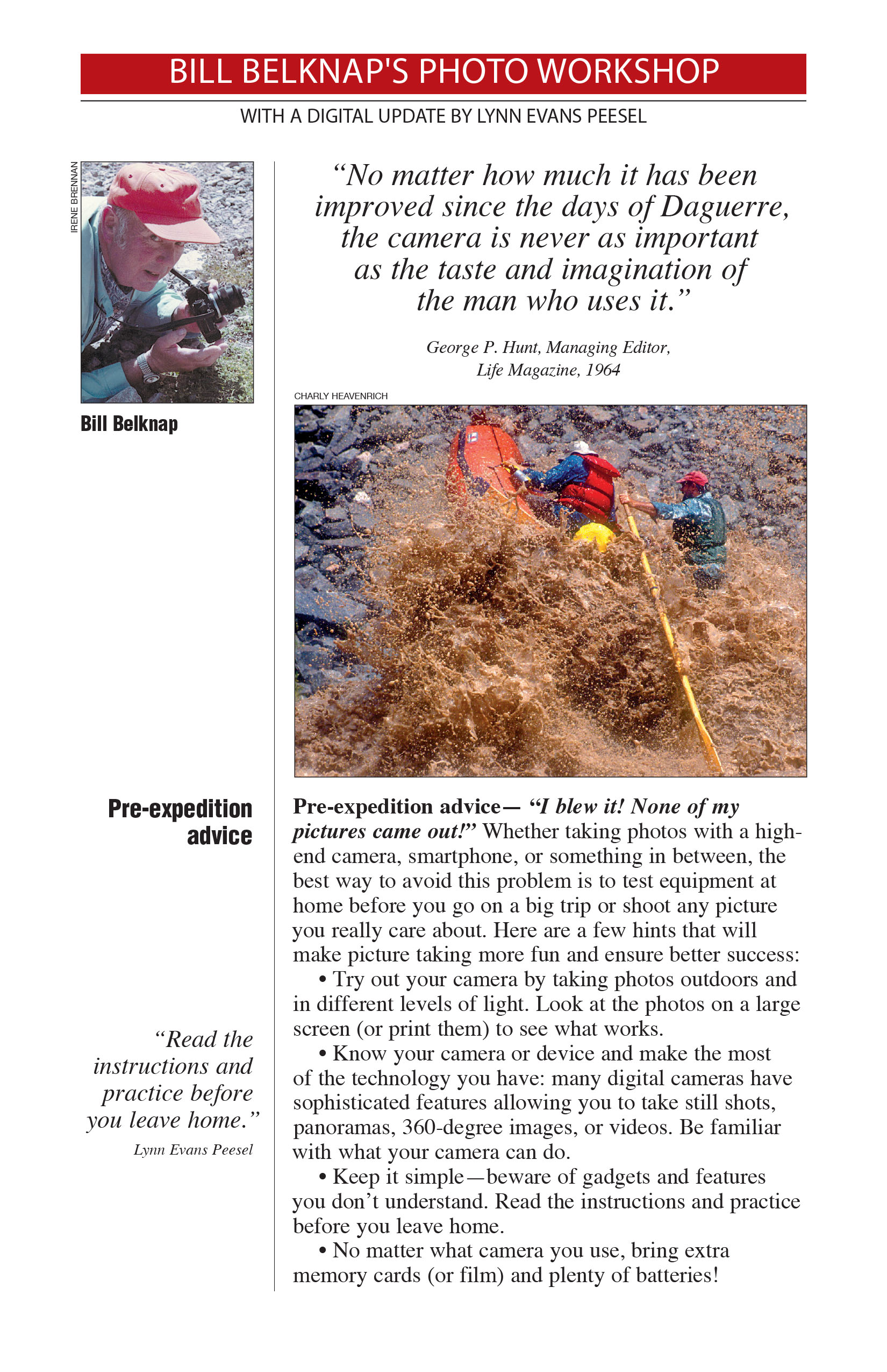
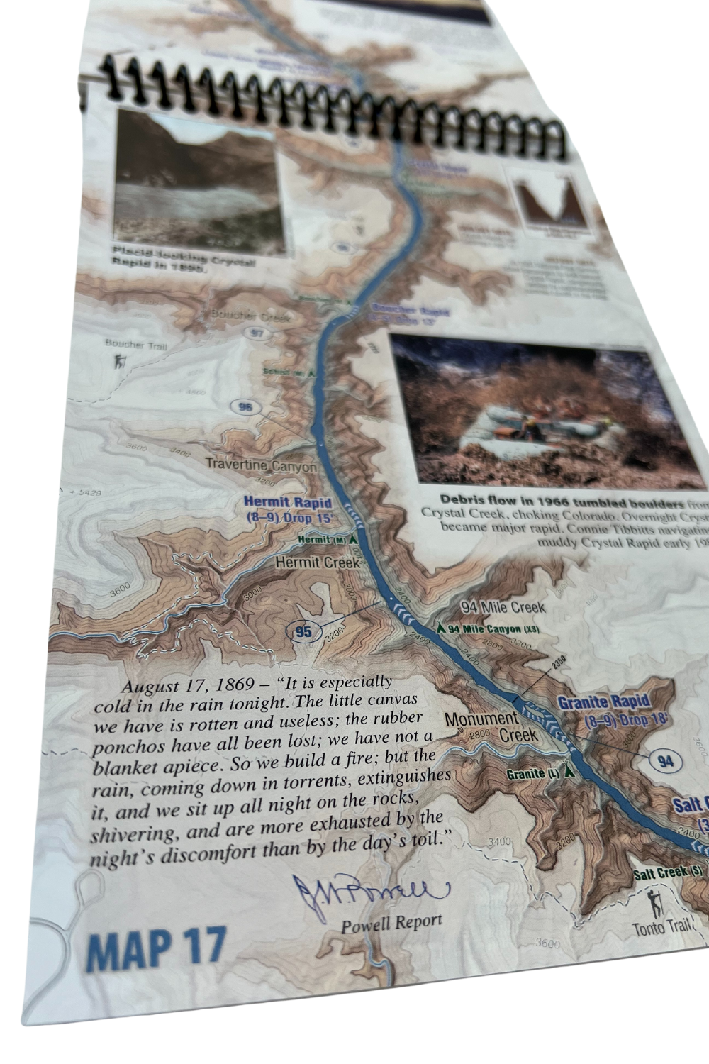
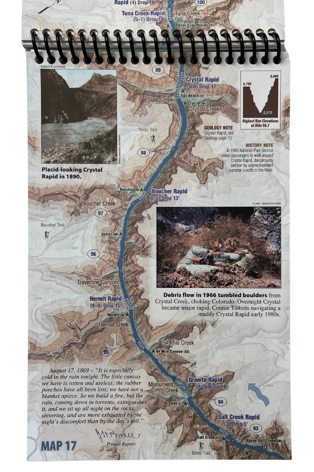
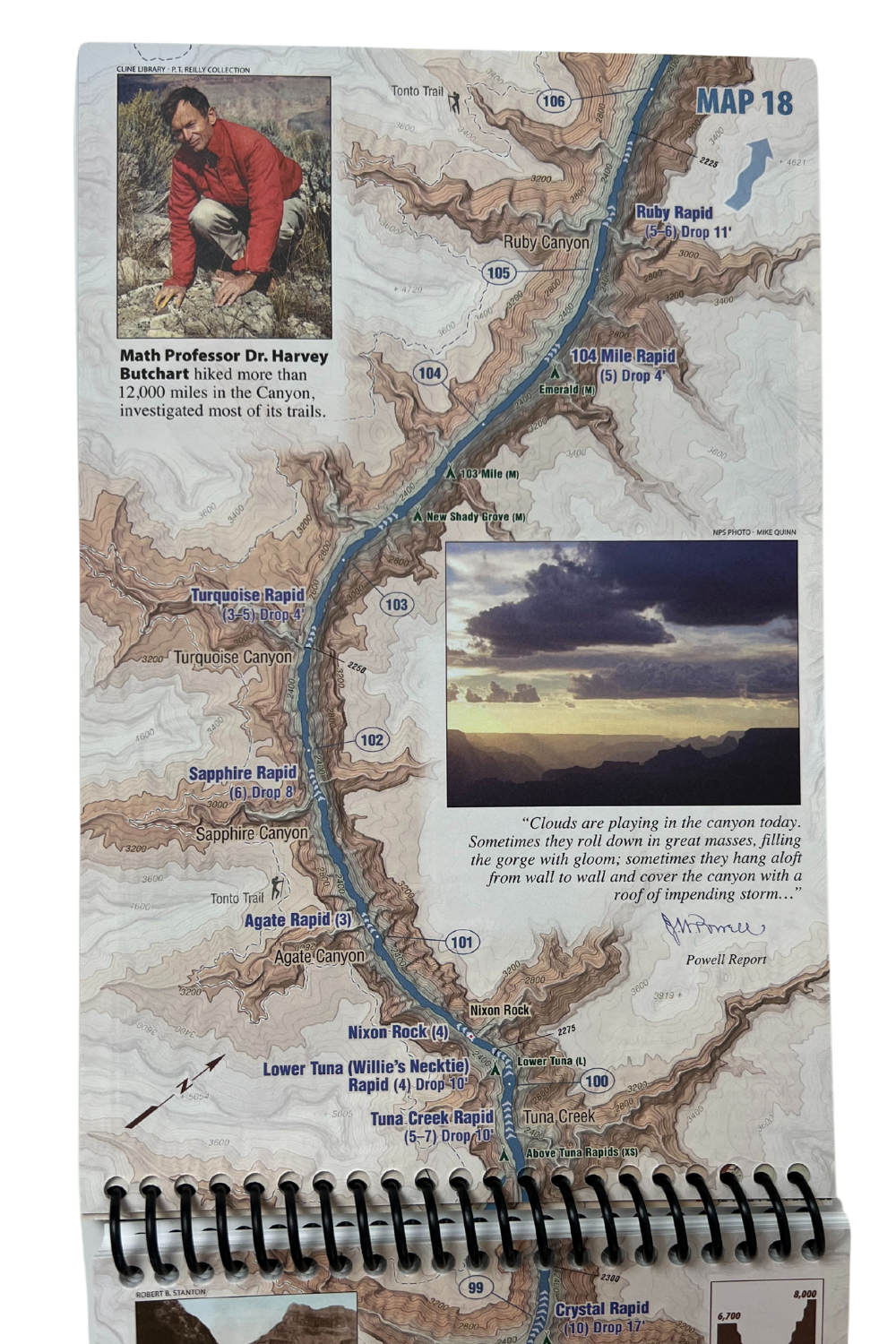
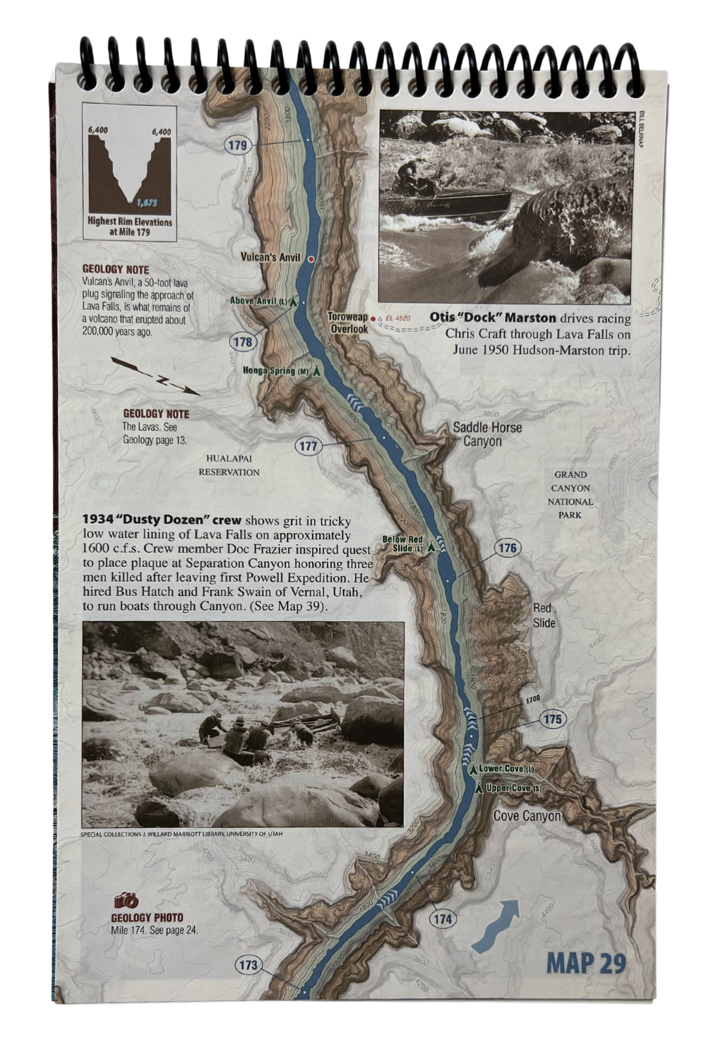
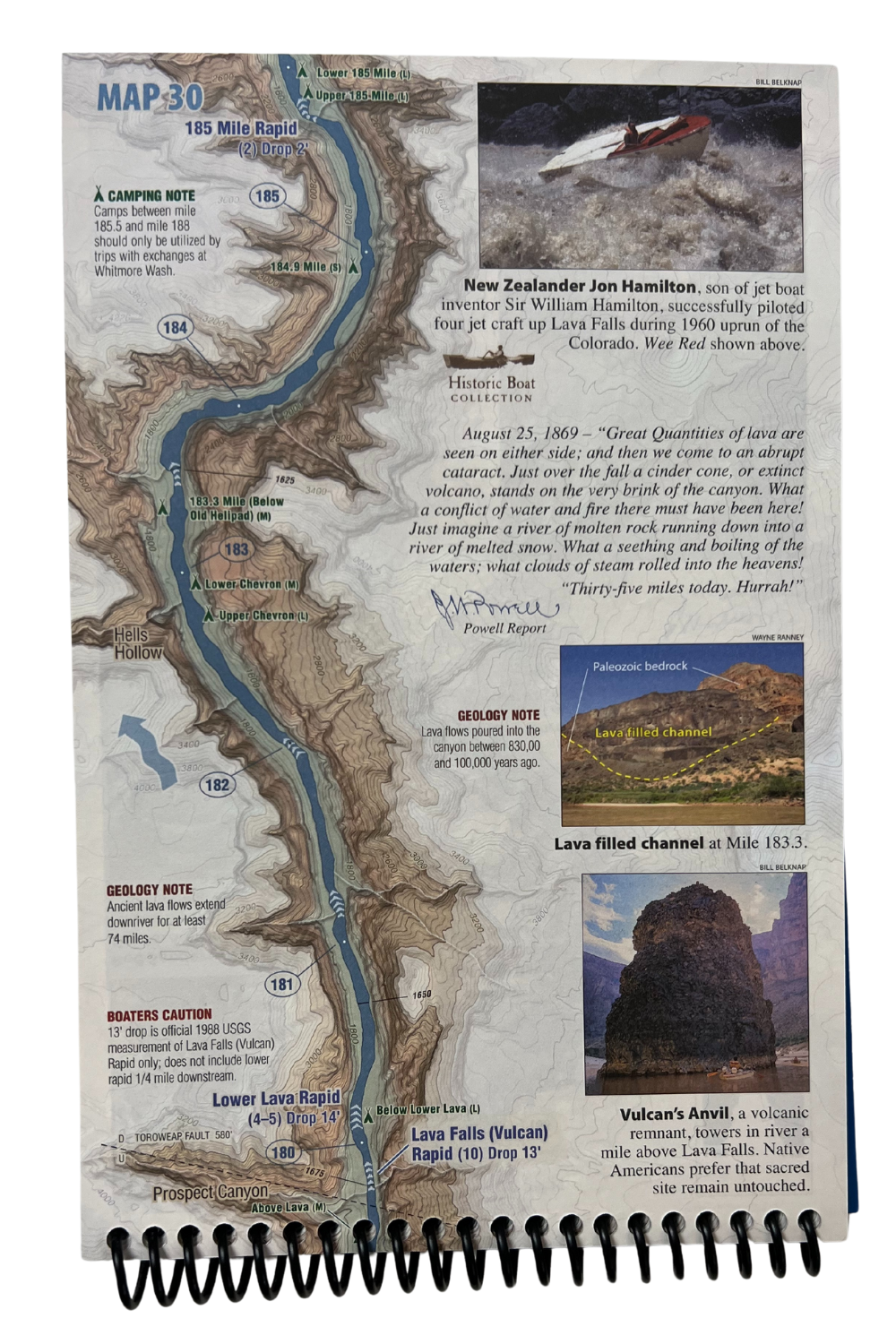
2023 Update of Belknap’s Waterproof Grand Canyon River Guide. New edition features 8 additional pages: Now includes Glen Canyon Dam to Lake Mead; New Read-as-you-Run Format; Photo Geology Labeling now from Lees Ferry to Mead. This mile-by-mile color Waterproof Guide to the Colorado River through Grand Canyon features shaded relief/topographic maps, and special sections on history, archaeology, geology, natural history and photography. Updated yearly with campsites and new USGS Mileage Points: Geology section features step-by-step easy to understand description of how the Canyon was formed as well as color photos from river level with formations clearly labeled for easy identification.
Now Available on Avenza Maps!
![]()
This is a digital version of our best-selling Grand Canyon Waterproof River Guide and allows you to track your exact location on the river anytime. As in our print version, the river runs upwards so you can always watch as you head downriver and see all the features on the map. We also show a shaded topo map that extends outside the edges of our map. This map is a single download of the entire Colorado River from Glen Canyon Dam to Lake Mead.
Buzz Belknap & Loie Belknap Evans


Reviews
There are no reviews yet.